
– Significance of Drone Surveying in Modern Applications
– DGCA Regulations and Licensing
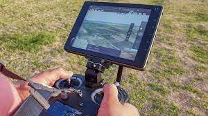
– Overview of Survey Drone Equipment and Software
– Pre-flight Checks and Safety Protocols
– Weather Assessment for Survey Missions
– Creating Efficient Flight Plans
– Emergency Response Training
– Fundamental Concepts of Land Mapping
– Types of Land Mapping Data
– Modern Land Mapping Technologies
– Selection and Setup of Survey Drones
– Data Acquisition Best Practices
– High-Resolution Imaging and Sensing
– Real-time Data Monitoring and Adjustment
– Image Stitching for Orthomosaics
– Creating 3D Models and Maps
– Geospatial Data Integration
– Accuracy Assessment and Quality Control
– Advanced Survey Techniques for Specialized Projects
– Detailed 3D Maps and Terrain Modeling
– Remote Sensing and Analysis
– Integration of Drone Data with GIS
– DGCA and Legal Requirements
– Privacy and Ethics in Data Collection
– Liability and Insurance Considerations
– Hands-on Field Surveys
– Data Collection and Processing
– Project Documentation and Reporting
– Troubleshooting and Real-world Challenges
– Job Opportunities in Survey Drone Piloting
– Setting Up Your Own Drone Survey Business
– Marketing and Client Acquisition Strategies
– Comprehensive Written Exam
– Practical Survey Project Evaluation
– DGCA Certification Application Guidance

An innovative thinker, pioneering cutting-edge techniques and methodologies in drone technology, enriching our curriculum with forward-looking insights
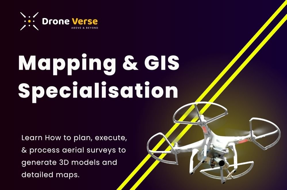
In response to the growing demand for skilled drone survey pilots in India, our Survey Drone Pilot Certification Program equips individuals with the expertise needed to become proficient in drone-based land mapping and surveying. Participants will learn how to plan, execute, and process aerial surveys to generate 3D models and detailed maps.
The eligibility for the Survey Drone Pilot Certification Program majorly depends on some of the specific requirements set by the organization or regulatory authority offering the certification. However, general eligibility criteria often include:
Our Drone Pilot Certification Program lasts for 10 days and its cost is around ₹ 70,000 (+GST).
The salary of a drone pilot in India can vary depending on factors such as experience, location, and the type of drone work being done.
Specialization in areas like agriculture, construction, or media can also influence salary expectations.
To enroll in the Drone Pilot Certification Program at DroneVerse, the general process typically involves the following steps:
To enroll in a drone flight course in India, applicants must be at least 18 years old, as per regulatory requirements. Additionally, a minimum qualification of 10th grade or its equivalent is necessary to become a certified drone pilot in India. When submitting the application, applicants must ensure they provide all the required documents.
Please fill in your information below
to enroll in the course.
Please fill in your information below
to enroll in the course.