Mining Survey
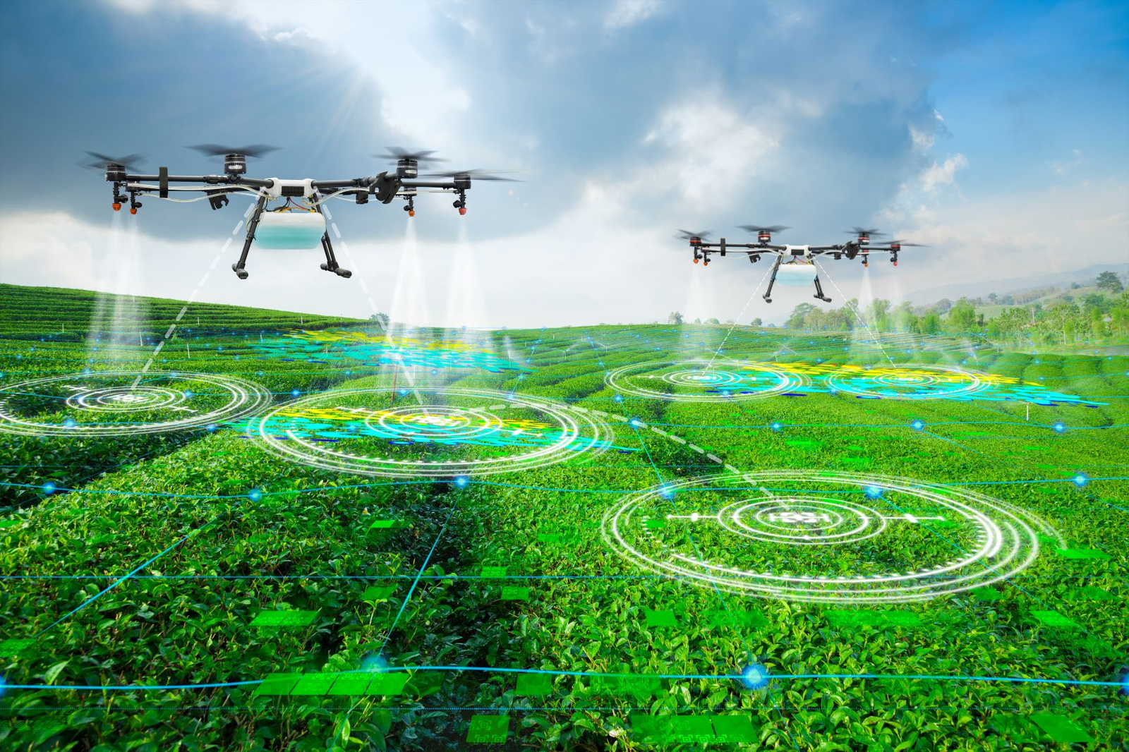
Our precision agriculture services utilize the latest drone technology to provide accurate and detailed data for farmers and agricultural businesses. With our advanced mapping and imaging capabilities, we can help optimize crop health, improve yields, and increase efficiency in crop management. Let us help you take your farming operations to the next level.
Crop Health & Stress Analysis
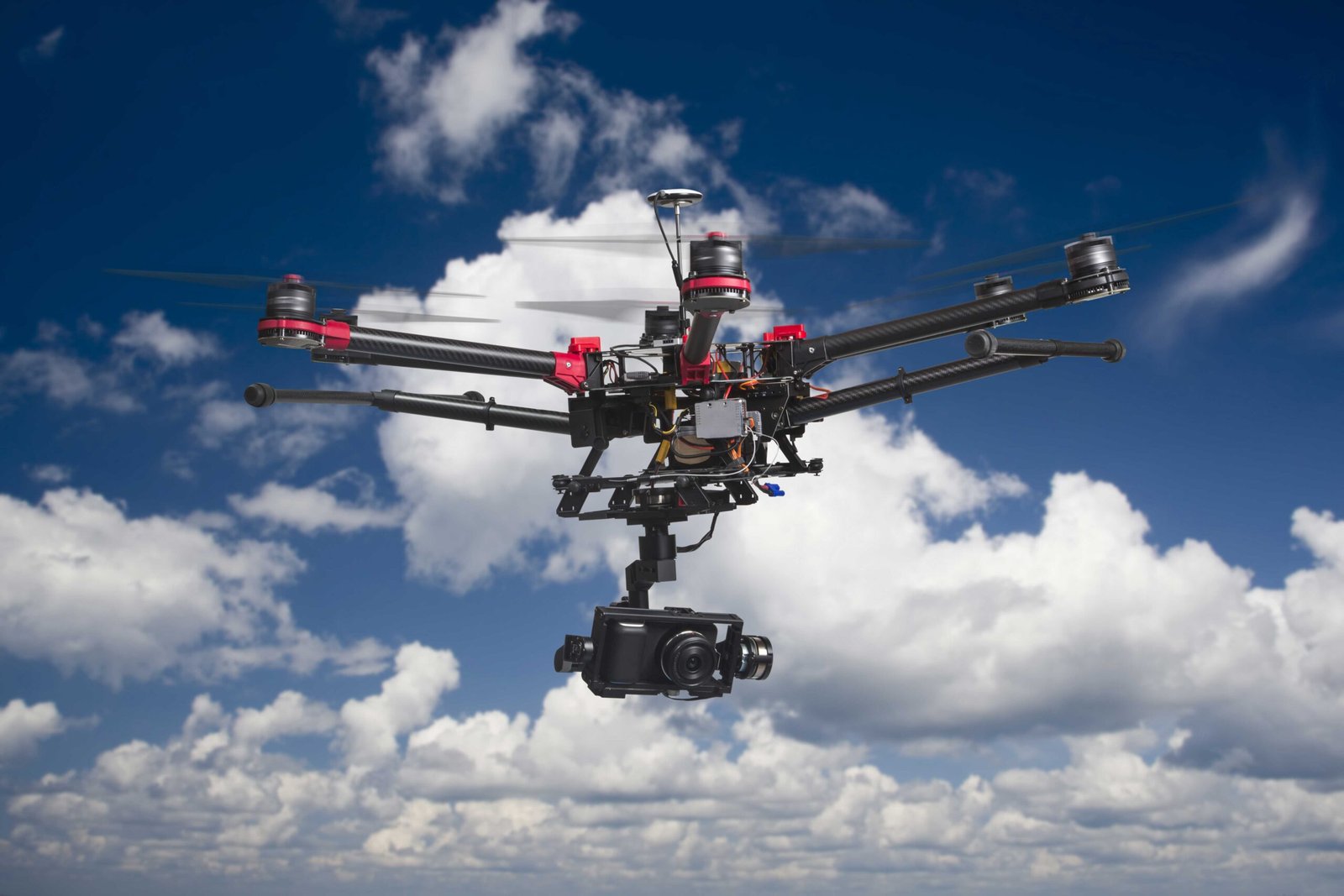
Drones equipped with high-resolution cameras or LiDAR (Light Detection and Ranging) sensors can conduct aerial surveys of infrastructure such as bridges, roads, and buildings. Detailed aerial imagery provides engineers and inspectors with comprehensive views of the entire structure, enabling them to identify potential issues such as cracks, corrosion, or structural damage.
Efficient Data Collection:
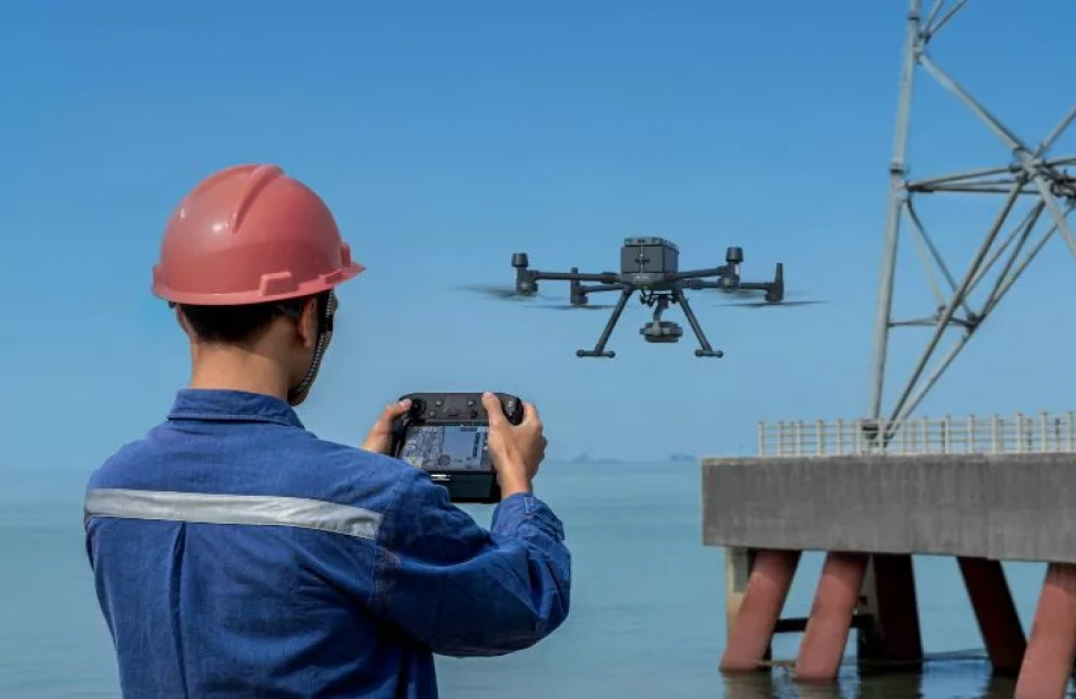
Drones can cover large areas quickly and efficiently, reducing the time and cost associated with traditional manual inspections. They can access hard-to-reach or hazardous areas without putting inspectors at risk, such as inspecting tall bridges or power line towers.
Thermal Imaging:
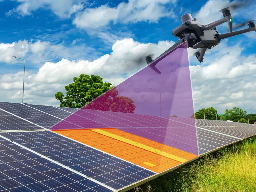
Drones equipped with thermal cameras can detect variations in temperature, which can indicate defects like water leakage or electrical malfunctions in infrastructure systems. Thermal imaging helps identify potential problems early on, preventing costly repairs or failures.
3D Modeling and Mapping:
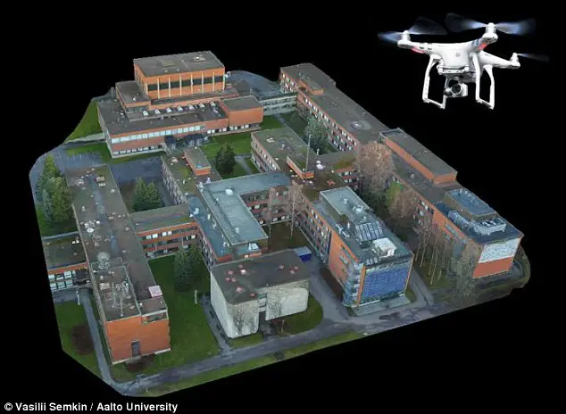
Drones can create highly accurate 3D models and maps of infrastructure assets, providing detailed insights into their condition and spatial relationships. These models can be used for asset management, planning maintenance activities, and simulating structural changes or upgrades.
Environmental Monitoring:
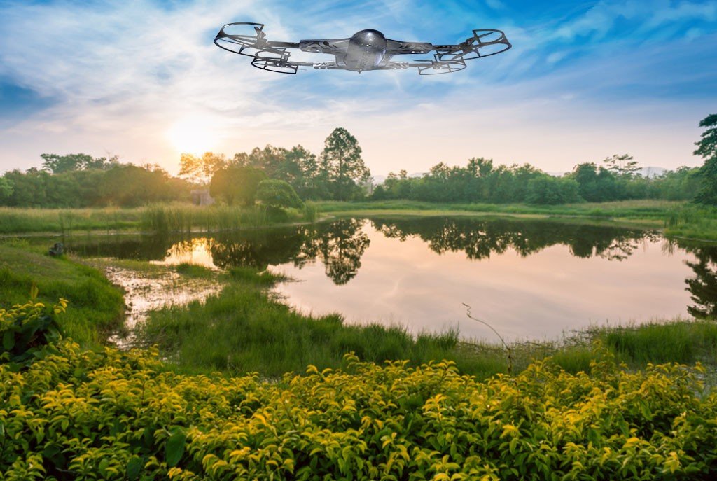
Drones can be equipped with sensors to monitor environmental factors such as air quality, water pollution, and vegetation growth around infrastructure sites. This data helps ensure compliance with environmental regulations and enables proactive measures to mitigate potential risks.
Remote Inspections:
Drones equipped with live streaming capabilities allow inspectors to remotely assess infrastructure in real-time from a safe location. This capability is particularly useful during emergencies or in situations where physical access is restricted, such as disaster-stricken areas or hazardous environments.
Our Deliverables
01)
Comprehensive Inspection Reports:
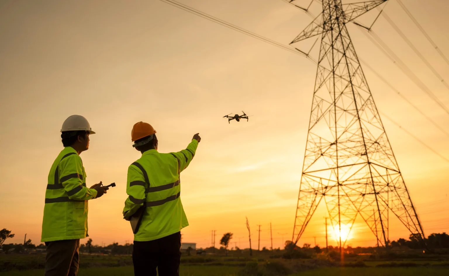
Deliverable: Detailed reports documenting the findings of the drone inspections, including visual imagery, thermal scans, and data analysis. Description: These reports provide a thorough assessment of the infrastructure’s condition, highlighting any issues or areas of concern identified during the inspection process. They include annotated images, 3D models, and relevant data to facilitate decision-making regarding maintenance, repairs, or upgrades.
02)
Interactive 3D Models and Maps:
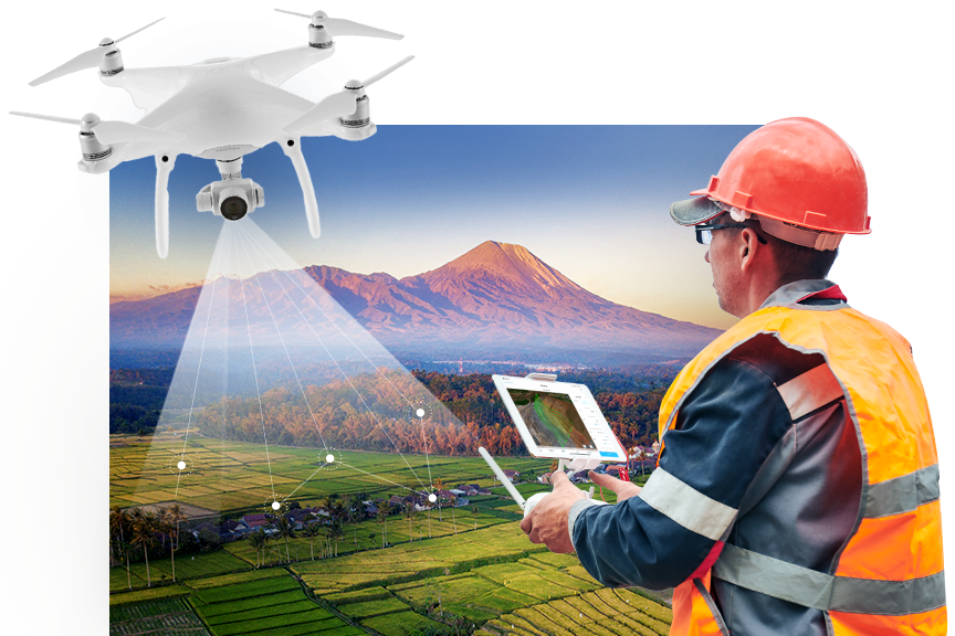
Deliverable: Interactive 3D models and maps generated from drone-captured data, showcasing the infrastructure’s spatial layout and condition. Description: These models offer stakeholders a dynamic visualization of the infrastructure, allowing them to explore different perspectives and view specific details. They serve as valuable tools for asset management, planning, and simulation of future scenarios, enhancing communication and understanding among project teams.
03)
Actionable Maintenance Plans:

Deliverable: Actionable maintenance plans derived from the inspection findings, outlining prioritized tasks and recommendations for addressing identified issues. Description: These plans detail the steps required to address maintenance needs efficiently, including timelines, resource allocations, and cost estimates. They help organizations proactively manage infrastructure assets, optimize maintenance schedules, and allocate resources effectively to ensure the continued functionality and safety of the infrastructure.
04)
Regulatory Compliance Documentation:
Deliverable: Documentation demonstrating compliance with regulatory requirements, including environmental monitoring reports and safety assessments. Description: These documents provide evidence of adherence to regulatory standards and guidelines governing infrastructure maintenance and operation. They include data collected during drone inspections related to environmental factors, safety measures, and risk assessments. By demonstrating compliance, organizations mitigate the risk of penalties or legal issues while fostering transparency and accountability in their operations.

