Droneverse Logo

Smart City Inspection

With our Smart City Inspection services, we empower urban development by harnessing drone technology. Drones offer unparalleled insights into infrastructure, traffic management, environmental monitoring, and more. We enable cities to make data-driven decisions, enhance citizen services, and drive sustainable growth.

Safety

Drones can access hard-to-reach or dangerous areas, reducing the need for manual inspections that may put workers at risk.

Efficiency

Drones can cover large areas quickly and efficiently, reducing the time and cost associated with traditional manual inspections.

Cost-Effectiveness

By reducing the need for manual labor and equipment, drones can lower overall inspection costs.

Data Collection:

Drones equipped with sensors and cameras can collect high-resolution imagery and data, allowing for detailed analysis of infrastructure conditions.

Remote Monitoring

Drones can transmit live video feeds to inspectors or engineers, allowing them to remotely monitor infrastructure in real-time.

Inspection Accuracy

Drones equipped with advanced imaging technology can detect defects or damage that may not be visible to the naked eye during manual inspections.

Our Deliverables

1.)
High-resolution imagery:

Drones are equipped with cameras capable of capturing high-resolution images of infrastructure. These images provide detailed visual documentation of the condition of various components such as bridges, roads, buildings, and utility structures. High-resolution imagery allows inspectors to zoom in on specific areas of interest, identify defects, and assess the overall condition of the infrastructure.

2.)
Video footage:

In addition to capturing still images, drones can record video footage of infrastructure inspections. Video footage provides inspectors with a dynamic view of the infrastructure, allowing them to observe conditions in real-time or review the footage later for analysis. Video footage can be especially useful for inspecting large or complex structures where a comprehensive visual assessment is necessary.

3.)
Geospatial data:

Drones are equipped with GPS receivers that enable them to collect precise geospatial data during inspections. This includes GPS coordinates, altitude, and other location-based information. Geospatial data provides inspectors with accurate location references for each inspection point, allowing them to precisely identify areas of concern and track changes over time.

4.)
Defect detection reports:

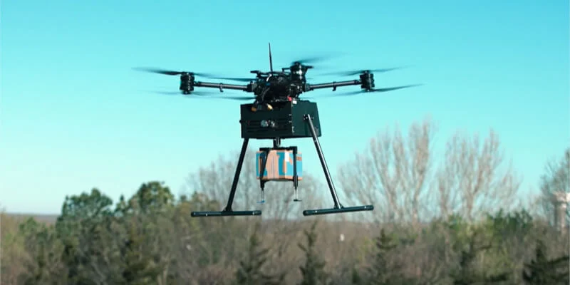
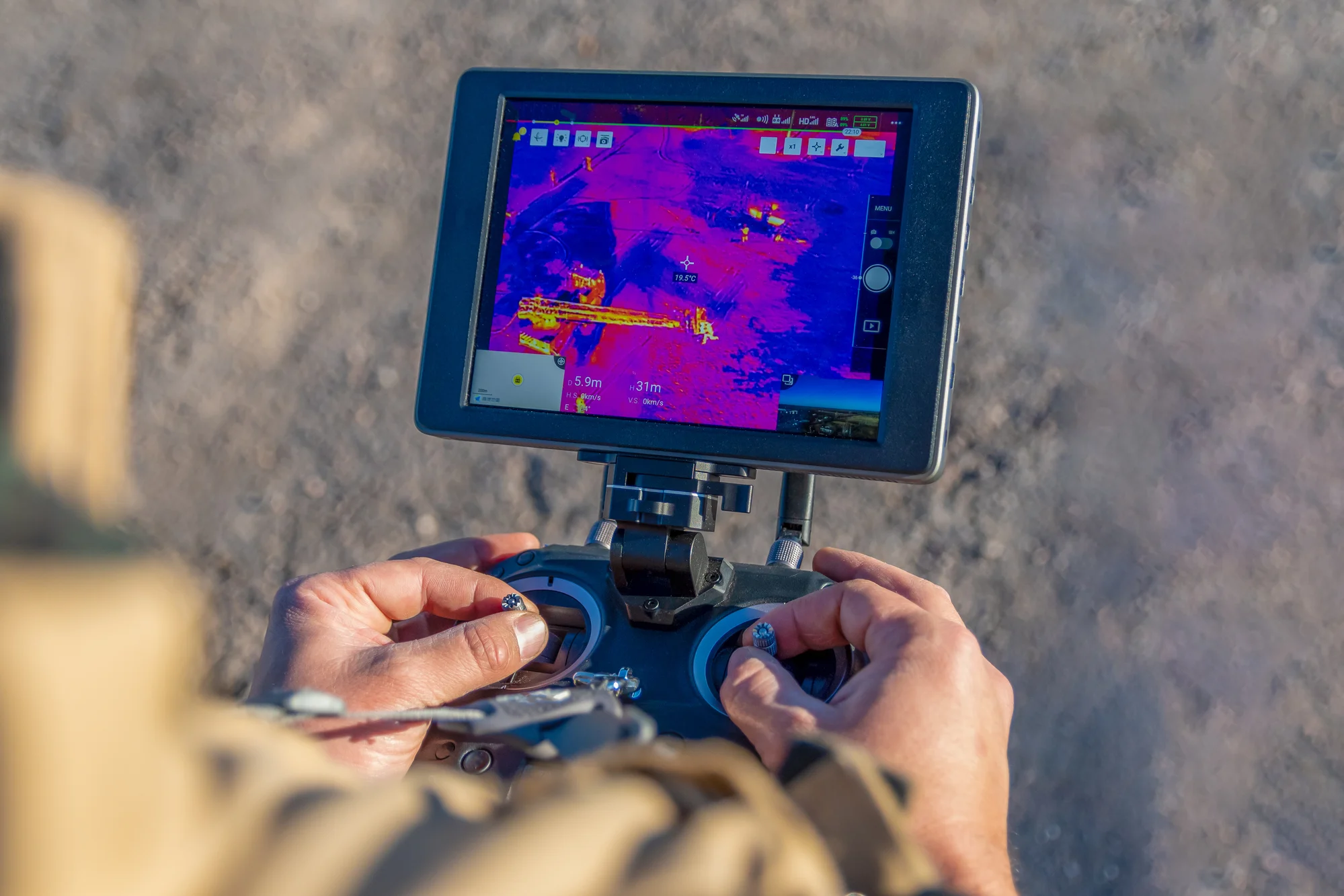
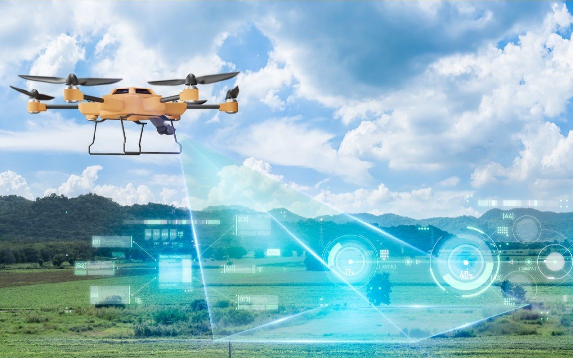
Drones can be equipped with sensors such as thermal cameras, LiDAR (Light Detection and Ranging) sensors, or multispectral cameras to detect defects or anomalies in the infrastructure. These sensors can identify issues such as cracks, corrosion, delamination, or uneven surfaces that may not be visible to the naked eye. Defect detection reports generated by drones provide inspectors with detailed information about the location, severity, and nature of defects, allowing them to prioritize maintenance or repair activities accordingly.

Ready to take the
next step?

Please fill in your information below
to enroll in the course.

Passport Inquiry

Do you have a passport?