Droneverse Logo

Precision Agriculture

Our precision agriculture services utilize the latest drone technology to provide accurate and detailed data for farmers and agricultural businesses. With our advanced mapping and imaging capabilities, we can help optimize crop health, improve yields, and increase efficiency in crop management. Let us help you take your farming operations to the next level.

Crop Health & Stress Analysis

We utilize advanced drones equipped with multispectral camera sensors to perform crop health and stress analysis. Our technology can detect diseases and stress in their early stages, often before they become visible from the ground or with standard color cameras. Our drone surveys also provide real-time imagery of fields for precise agriculture. The data collected is processed and analyzed to monitor irrigation, crop health, and other essential factors, enabling farmers to focus on effective treatment plans.

Crop Count & Plant Emergence Analysis

Our crop count and plant emergence analysis services use advanced drones equipped with high-resolution cameras and machine learning algorithms. Our technology efficiently tracks crop emergence, drives replanting decisions, and predicts yield with 97% accuracy. Our system uses premium UAVs and photogrammetry to obtain accurate data, which is represented as 2D orthomosaics for in-depth analysis.

Crop Damage Assessment

Our crop damage assessment services use advanced drones with remote sensing capabilities and photogrammetry. The high-resolution data we provide helps farmers claim crop insurance and improve crop yields while reducing damage. Our experienced pilots can capture vital information on damage caused by floods, fires, pests, weather events, and more. The data is represented as 2D or 3D orthomosaics, enabling farmers to understand the extent of the damage and find effective solutions.

Crop Count & Plant Emergence Analysis

Our crop count and plant emergence analysis services use advanced drones equipped with high-resolution cameras and machine learning algorithms. Our technology efficiently tracks crop emergence, drives replanting decisions, and predicts yield with 97% accuracy. Our system uses premium UAVs and photogrammetry to obtain accurate data, which is represented as 2D orthomosaics for in-depth analysis.

Field Soil Analysis

Our field soil analysis services use advanced drones like the DJI Phantom 4 Pro to provide real-time and accurate analysis of soil health. This data helps farmers identify nutrient management issues, dead soil zones, and other problems affecting crop growth. Our precision agriculture services enable farmers to make informed decisions about planting patterns, crop management, and soil health, while also improving worker safety and health.

Pesticide Spraying

Pesticide spraying is essential for maintaining crop health, but it can be costly and time-consuming when done manually. Our drones equipped with pesticide spraying equipment provide an efficient and cost-effective solution. With our precision agriculture services, farmers can save time and labor costs while avoiding exposure to potentially harmful chemicals. Contact us to learn more about our pesticide spraying services.

Our Deliverables

1.)
Digital surface model (DSM)

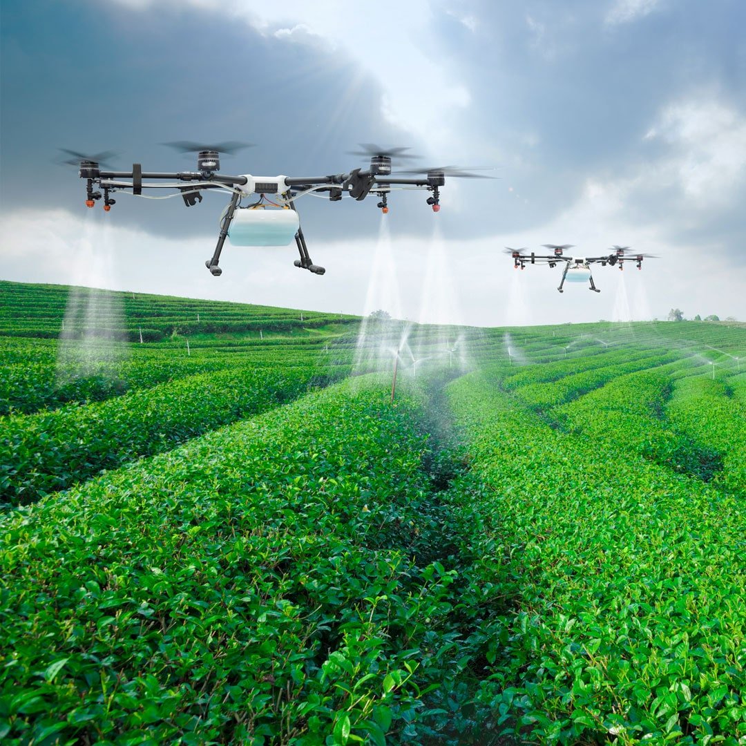
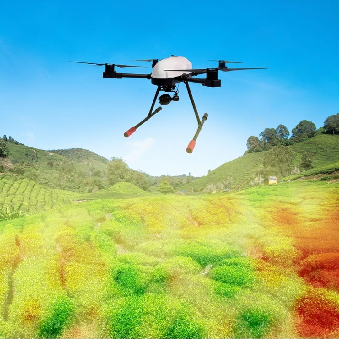
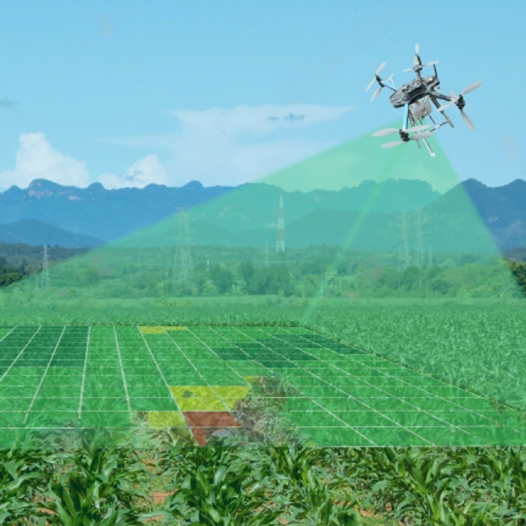
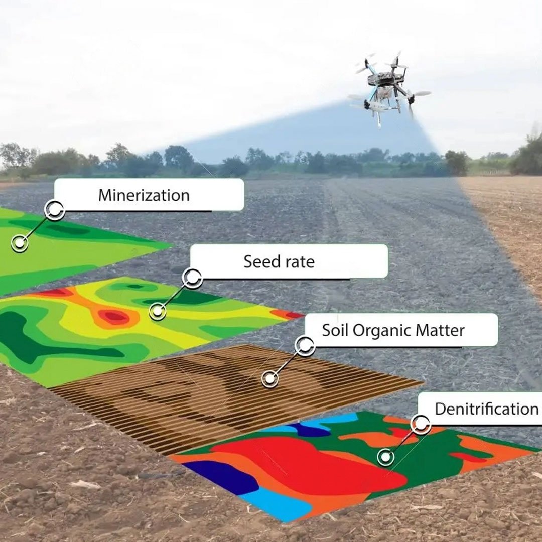
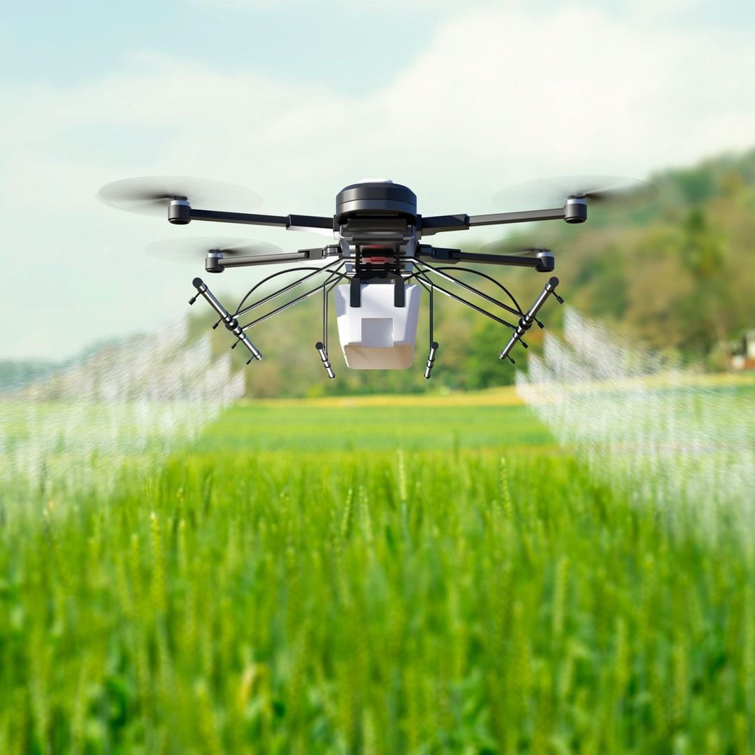
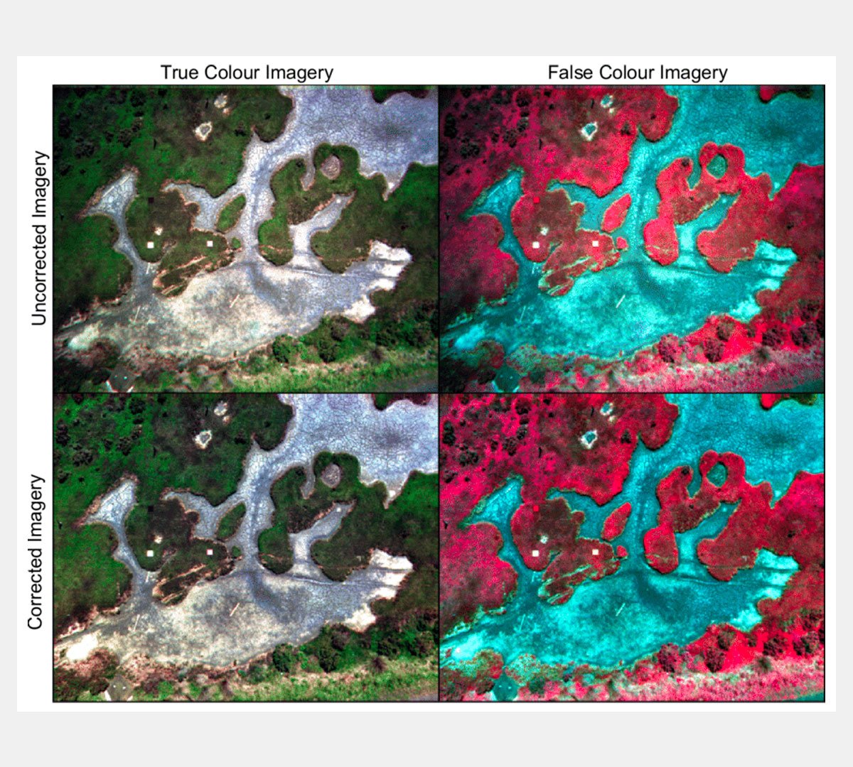
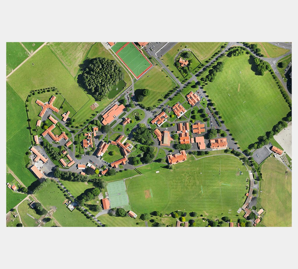
Digital Surface Models (DSMs) are essential tools in agriculture for irrigation planning, water flow analysis, and crop optimization based on slope direction. Our drones equipped with low-altitude remote sensing (LARS) cameras capture high-resolution RGB images that yield superior data compared to traditional methods. Contact us to learn more about how our DSMs can benefit your farming operations.

2.)
Vegetation Index Map

Maturity indices help determine the optimal harvest time for crops to meet consumer demand. Our drones use various vegetation indices, including NDVI, NDRE, and chlorophyll-based indices, to quantify differences in the field and create detailed farm field health maps. With high-resolution multispectral aerial imagery, we can quickly detect and visualize field variability for thorough analysis.

3.)
False-color band combinations

Multispectral sensors equipped on drones can reveal visual combinations of red, green, and blue colors, depending on reflectivity and absorption at various wavelengths. These patterns can highlight hidden features of crops, such as weeds or water-logged soil, that are not visible through standard means.

4.)
Fields Orthomosaic Map

Farmers know that time is a precious commodity. To maximize their efficiency, they need to quickly detect and address any issues that arise during the growing season. A high-quality color Orthomosaic Map is a critical tool in scouting fields and identifying potential problems early. With the aid of interpretation, farmers can quickly identify areas of stress and gaps in their crop, while also monitoring the growth and maturity stages of their plants.

Ready to take the
next step?

Please fill in your information below
to enroll in the course.

Passport Inquiry

Do you have a passport?