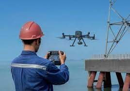
Our Power Line Inspection and monitoring services bring reliability and efficiency to the energy sector. Drones are deployed to inspect power lines, substations, and transmission towers. This proactive approach helps prevent outages, reduce maintenance costs, and ensure uninterrupted power supply.
Visual Inspection
Drones equipped with cameras can conduct visual inspections of power lines, allowing inspectors to identify any damage, wear, or abnormalities without the need for manual inspection.
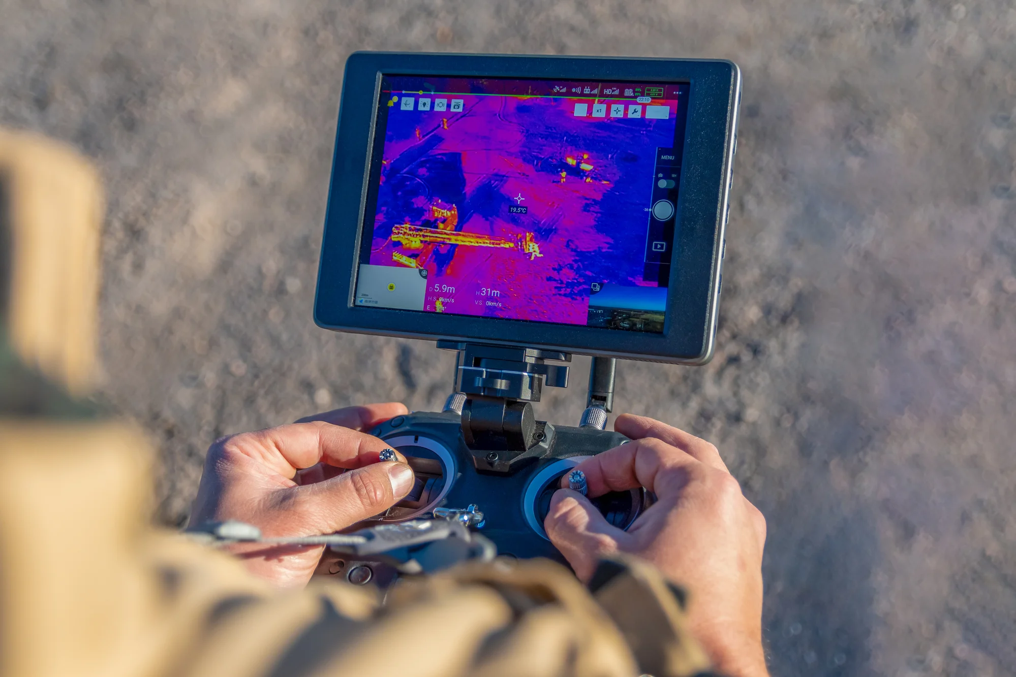
Thermal Imaging
Drones can be equipped with thermal imaging cameras to detect hot spots and potential faults in power lines and equipment, helping to prevent potential failures or outages.
LiDAR Technology:
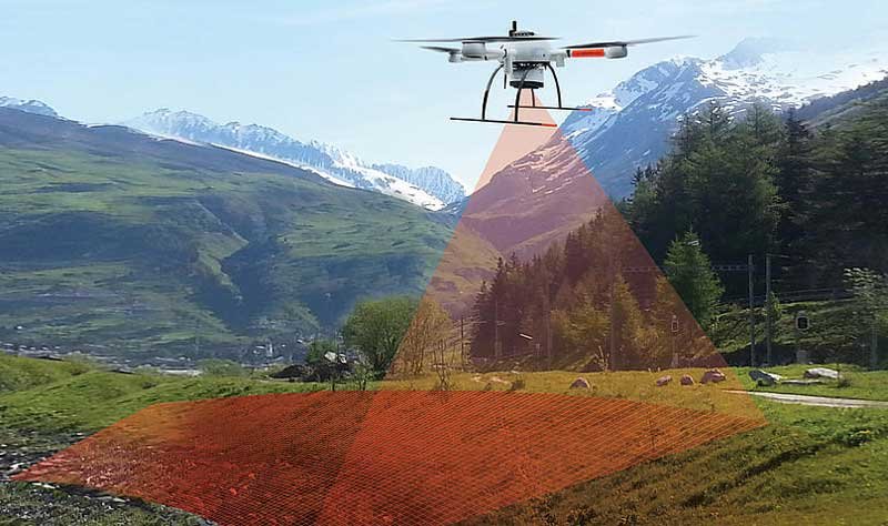
Drones equipped with LiDAR (Light Detection and Ranging) technology can create detailed 3D maps of power line corridors, aiding in vegetation management and ensuring clearance distances are maintained.
Remote Access:
Drones provide access to difficult-to-reach areas, such as remote or rugged terrain, where traditional inspection methods may be challenging or dangerous for inspectors.
Efficiency and Cost-Effectiveness:
Drones can cover large areas in a fraction of the time it takes for manual inspections, reducing labor costs and minimizing downtime for maintenance and repairs.
Data Collection and Analysis:
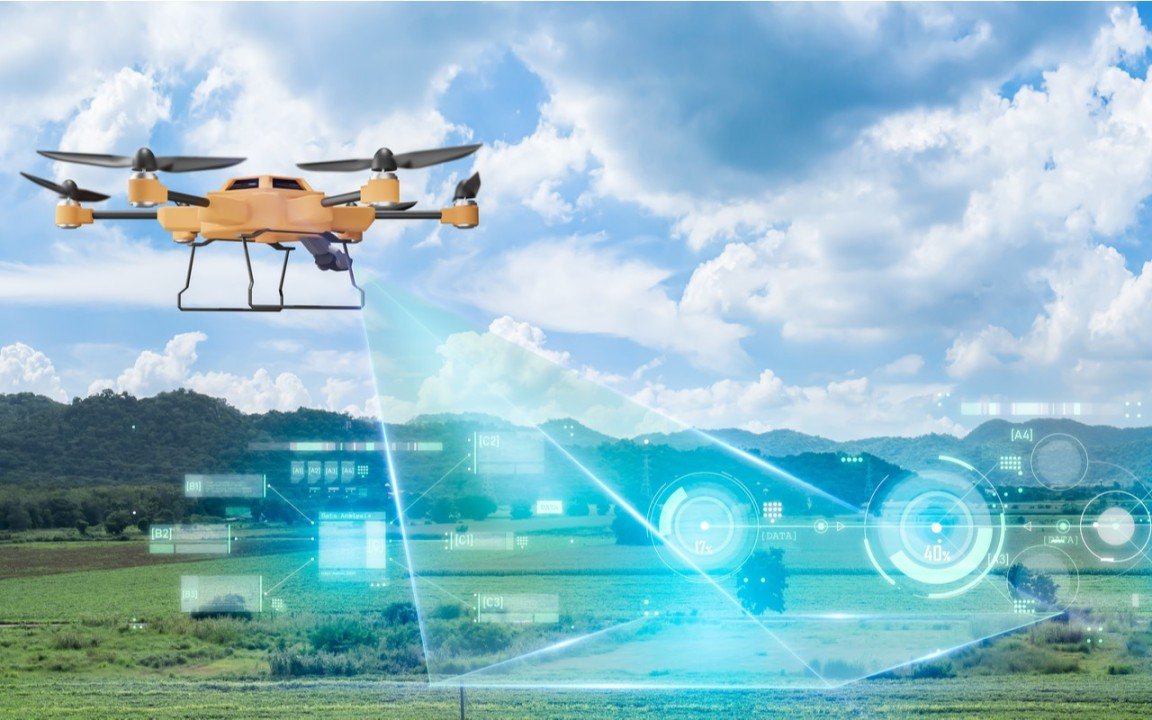
Drones can collect vast amounts of data during inspections, which can be analyzed using advanced algorithms to identify trends, predict potential issues, and optimize maintenance schedules.
Our Deliverables
01)
Visual Inspection Reports
: Drones capture high-resolution images and videos of power lines, poles, and associated infrastructure. These visual inspection reports detail the condition of assets, identifying any signs of damage, wear, or corrosion that require attention.
02)
Thermal Imaging Analysis
: Equipped with thermal cameras, drones detect abnormal heat signatures along power lines, indicating potential faults or areas of overheating. Deliverables include thermal imaging reports pinpointing these anomalies for further investigation and maintenance.
03)
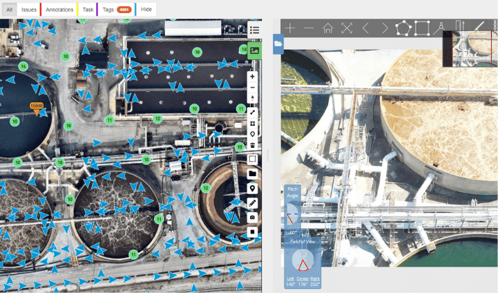
LiDAR-generated 3D Models
Drones equipped with LiDAR sensors create detailed 3D models of power line corridors, accurately mapping the terrain and surrounding vegetation. Deliverables include digital 3D models that aid in assessing clearance distances, vegetation encroachment, and overall infrastructure integrity.
04)
Data-driven Maintenance Recommendations:
: By collecting and analyzing inspection data, drones generate maintenance recommendations based on asset condition, environmental factors, and historical performance. Deliverables may include actionable insights and prioritized maintenance schedules to optimize asset reliability and performance.
Ready to take the next step?
Please fill in your information below to enroll in the course.
Ready to take the next step?
Please fill in your information below to enroll in the course.