Droneverse Logo

Land Survey

We offer a comprehensive range of surveying solutions utilizing the latest drone technology. Our experienced team of drone pilots and surveyors can provide accurate data and mapping for various industries such as construction, agriculture, and infrastructure.

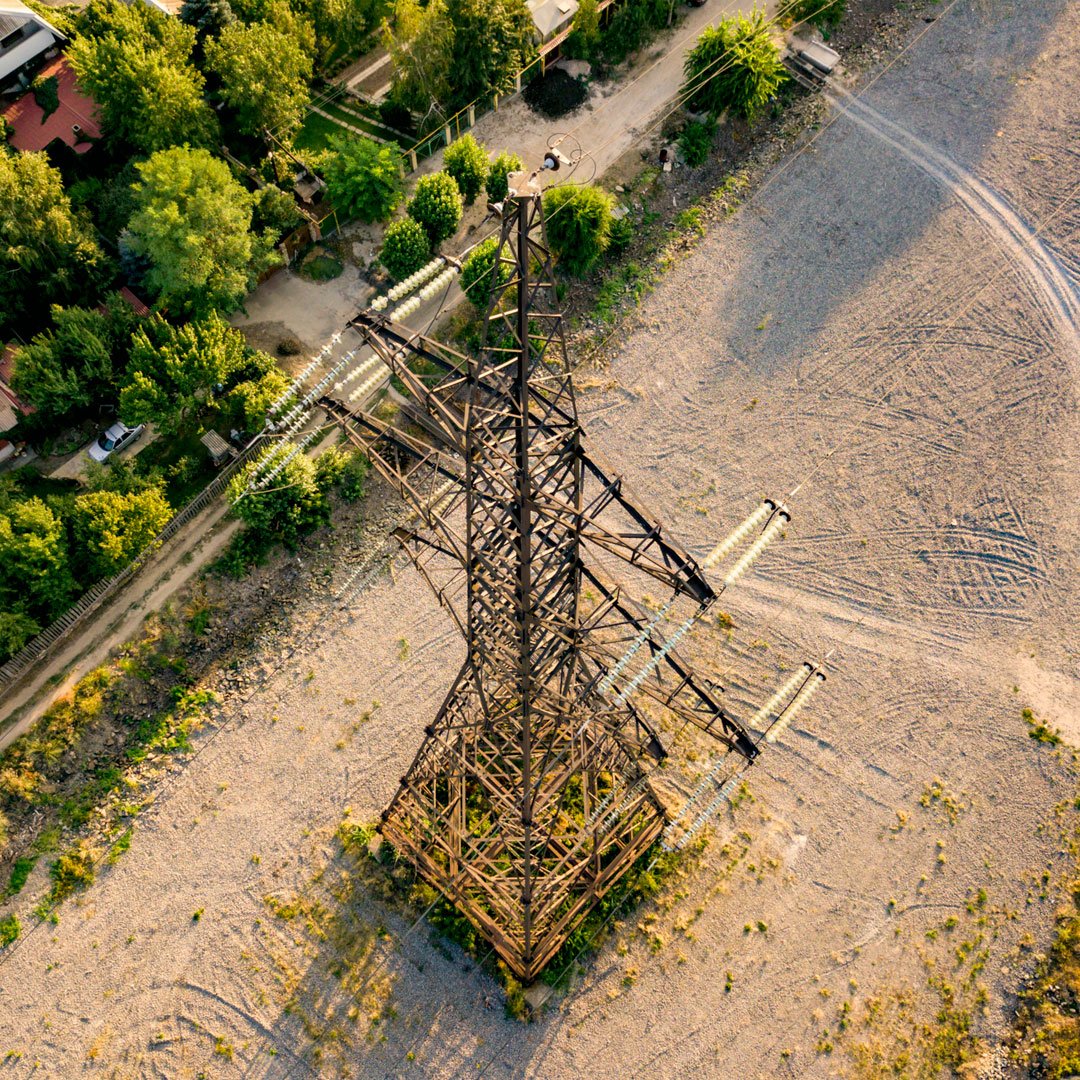
Power Lines & Utilities Monitor the ROW of your assets with ease

Corridor Mapping
Asset Health Monitoring
Encroachment Detection

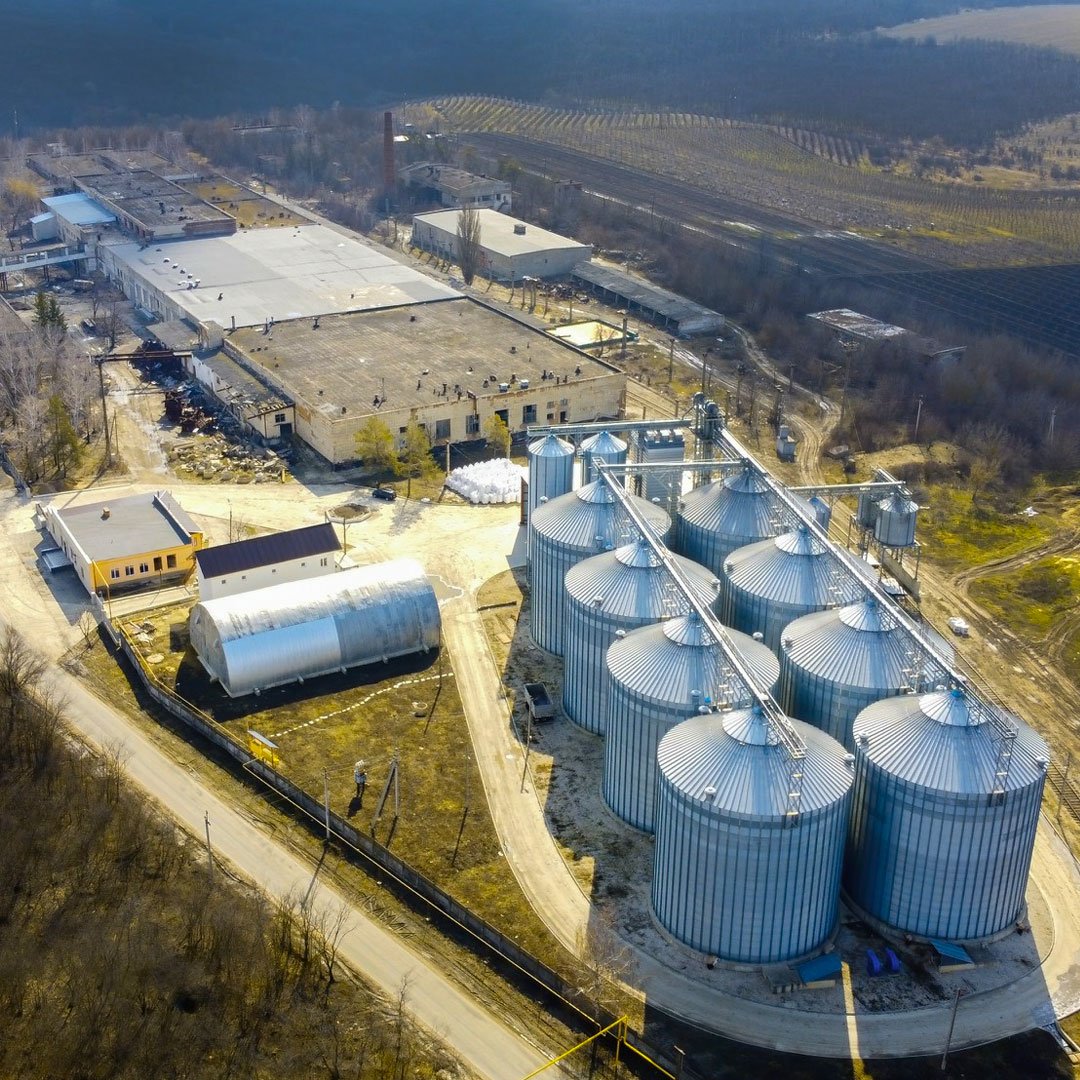
Oil & Gas Infrastructure

Leakage Detection
Hotspot Detection
Flare Tip Inspection
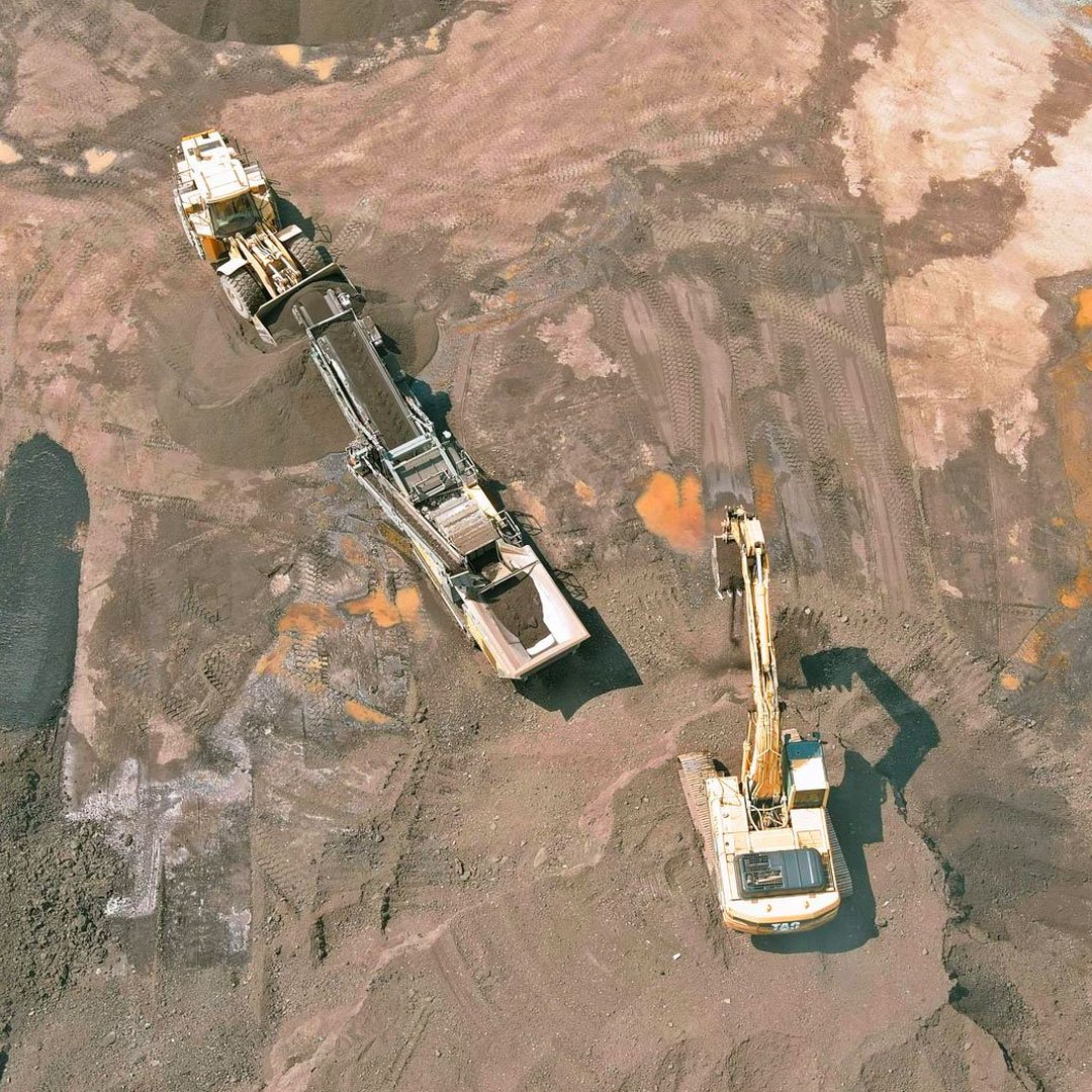
Mines & Quarries Gain valuable insights of your mines

Volume Estimation
Longitudinal / Cross Section Profile
Periodic Change Detection

Energy & Renewables Increase the ROI of your RE assets

Site Feasibility Survey
Asset Health Inspection
Maintenance Recommendations

Roads & Highways Systematically Plan & Monitor Your Assets

Periodic Inspection
Construction Monitoring
ROW Mapping

Urban & Rural Planning Gain smart solutions for Smart Cities

Asset Mapping
Surface Plan Creation
Encroachment Detection

Ready to take the
next step?

Please fill in your information below
to enroll in the course.

Passport Inquiry

Do you have a passport?