Our Forest & Wildlife Survey services leverage drone technology for conservation efforts. Drones provide an unobtrusive means of surveying forests and wildlife habitats, monitoring biodiversity, and detecting illegal activities. We contribute to the protection of ecosystems and endangered species.
Aerial Surveys:
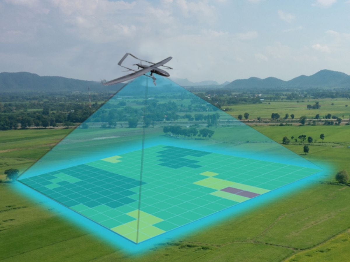
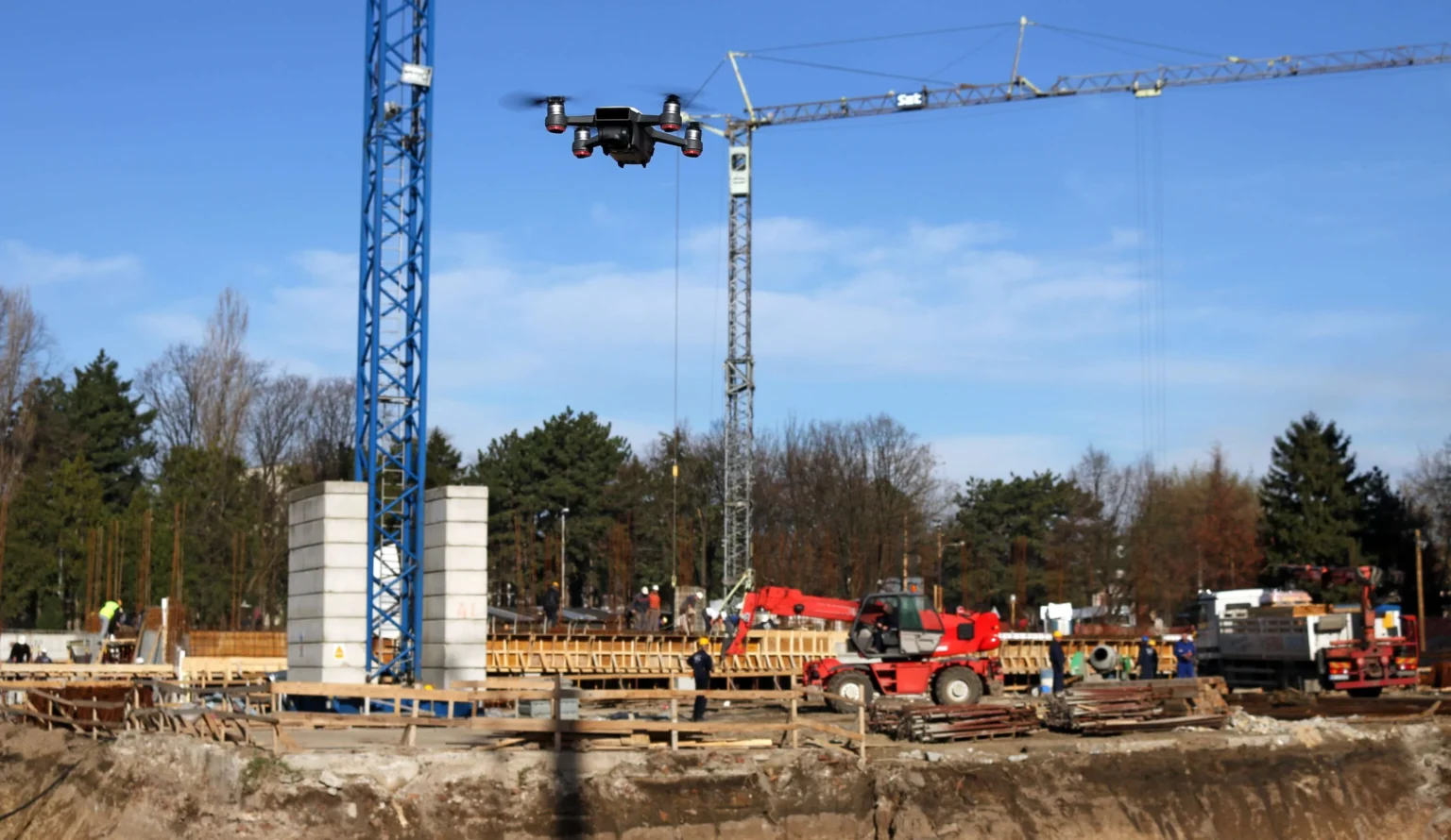
: Drones equipped with high-resolution cameras can capture detailed aerial imagery of infrastructure such as bridges, roads, and buildings. This imagery can be used for surveying and monitoring the condition of infrastructure over time.
Remote Sensing:
Drones can carry various sensors such as LiDAR (Light Detection and Ranging) and thermal cameras to collect data on the structural integrity of infrastructure. LiDAR, for example, can create 3D models of structures, allowing engineers to identify potential issues such as cracks or deformities.
Safety Inspections:
Drones can be used to inspect hard-to-reach or hazardous areas of infrastructure, such as tall bridges or power lines. This reduces the need for human inspectors to access dangerous locations, improving safety.
Faster Inspections
Drones can cover large areas of infrastructure in a fraction of the time it would take for human inspectors to do the same task. This efficiency allows for more frequent inspections, leading to early detection of potential problems and proactive maintenance.
Cost-Effective
Using drones for infrastructure inspection can be more cost-effective than traditional methods, as it reduces the need for expensive equipment and manpower. Additionally, drones can access areas that may be difficult or expensive to reach using traditional inspection methods.
Real-time Monitoring
Drones equipped with live video streaming capabilities can provide real-time monitoring of infrastructure, allowing inspectors to quickly assess the condition of assets during emergencies or natural disasters.
Our Deliverables
01)
Designs
Visual or technical designs, drawings, or schematics that depict the planned or completed design of a product, system, or infrastructure.
02)
Plans:
Written documents outlining the strategies, schedules, budgets, or other aspects of project management. Plans may include project plans, implementation plans, communication plans, or risk management plans.
03)
Data
Raw or processed data collected or generated as part of the project. Data may include survey results, sensor data, experimental data, or other types of data relevant to the project.
04)
Presentations
Visual or oral presentations that communicate project findings, progress, or outcomes to stakeholders. Presentations may include slide decks, multimedia presentations, or in-person presentations.
Ready to take the next step?
Please fill in your information below to enroll in the course.
Ready to take the next step?
Please fill in your information below to enroll in the course.