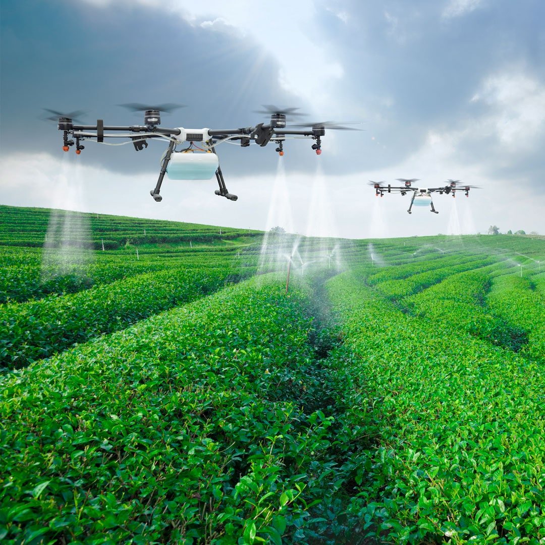
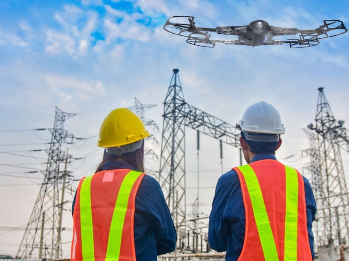
Drones can inspect cell towers for damage, wear and tear, and structural integrity without the need for manual inspection, reducing risks for personnel. They can be equipped with cameras and sensors to detect defects, loose bolts, and corrosion, enabling timely maintenance.We offer irrigation monitoring and planning services using cutting-edge drones equipped with thermal cameras and remote sensing capabilities. Our technology can help identify and address issues with irrigation, such as areas receiving too much or too little moisture. The topography of fields is analyzed through RGB imagery, which assists farmers in positioning and segregating crops to maximize drainage, follow natural land runoff, and avoid water-logging. With our services, farmers can easily adapt to various environments and optimize their irrigation practices for better crop yields.