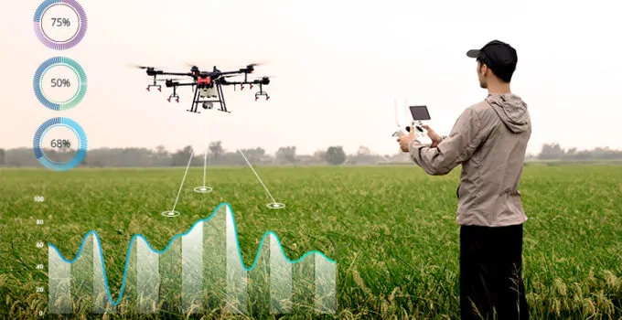
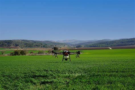
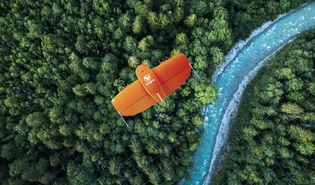
Our Agriculture Survey services cater to the diverse needs of modern agriculture. Drones monitor crop health, assess field conditions, and facilitate precision agriculture. We empower farmers with the data needed to make informed decisions and increase crop yields.
Crop Health Monitoring:
Drones equipped with multispectral or hyperspectral cameras can capture images of crops in different wavelengths. This data can be processed to assess crop health, identify areas of stress or disease, and optimize irrigation and fertilization practices.
Yield Estimation:
By flying over agricultural fields at different growth stages, drones can capture imagery that allows for the estimation of crop yields. This information is valuable for farmers, agronomists, and policymakers for planning harvest logistics and assessing overall production.
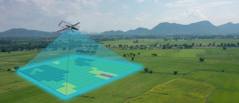
Crop Mapping and Field Boundary Detection:
Drones can create detailed maps of agricultural fields, including crop types, boundaries, and variability within fields. This data aids in precision agriculture practices such as variable rate application of inputs, optimizing planting patterns, and managing field boundaries effectively.
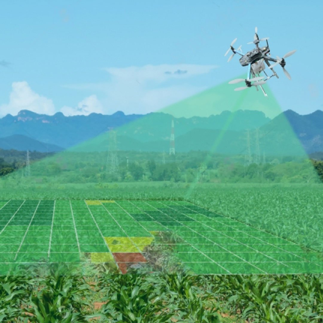
Pest and Weed Detection
Drones equipped with high-resolution cameras can detect pest infestations and weed growth within fields. Early detection allows farmers to take targeted actions, such as spot spraying or implementing integrated pest management strategies, reducing the need for blanket pesticide applications..
Damage Assessment:
following natural disasters such as floods, storms, or wildfires, drones can quickly survey agricultural areas to assess the extent of damage to crops and infrastructure. This rapid assessment enables timely response and recovery efforts.
Water Management:
Drones equipped with thermal cameras can identify areas of water stress in crops by detecting variations in plant temperature. This information assists farmers in optimizing water usage, improving irrigation efficiency, and mitigating water-related risks.
Comprehensive Inspection Reports:
Comprehensive Inspection Reports
Deliver detailed reports containing high-resolution imagery, data analysis, and findings from drone inspections. These reports should include information on any defects, damages, or potential maintenance needs identified during the inspection. Digital Maps and 3D Models: Provide digital maps and 3D models of the inspected infrastructure
Digital Maps and 3D Models:
Provide digital maps and 3D models of the inspected infrastructure created from drone-collected data. These maps and models should accurately represent the current condition of the infrastructure and can be used for future inspections and maintenance planning.
Real-Time Monitoring Feeds:
Offer real-time video feeds from drone inspections to allow clients to remotely monitor the condition of their infrastructure. This feature enables immediate action in case of any identified issues and provides peace of mind through continuous monitoring.
Actionable Recommendations:
include actionable recommendations based on the inspection findings to address any identified defects or maintenance needs. These recommendations should prioritize safety, efficiency, and cost-effectiveness, providing clients with clear steps to maintain and improve their infrastructure.
Ready to take the next step?
Please fill in your information below to enroll in the course.
Ready to take the next step?
Please fill in your information below to enroll in the course.